


|
 |
CMSEditor (Demo)
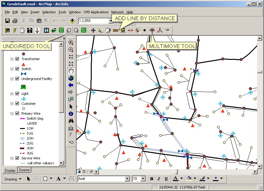
Click on
images for demos.
This software provides a powerful work order based
editing system for the maintenance of your
Electric/Water/Sewer/Gas/Storm Water Geographic Information System (GIS).
CMSEditorä
can be operated on either desktop or portable PCs providing a unique in
field staking capability.
Key Benefits
- Support for File Based, Personal,
Enterprise Geodatabases.
CMSEditor uses a centralized posting server to enable multi-user
editing and data synchronization.
- Edit and maintain your electrical GIS on a work order basis. The work order workflow allows updates to be designed or engineered. These
drawings are then printed and delivered to field crews, who ultimately construct the
designed work. As typically occurs, changes are made to the original design in the field
and the original work order is updated. Changes are noted on the original design and the
work order is marked as-built.
- Enter and update data using intelligent data entry forms.
CMSEditorä provides easy to use data entry forms which verify and ease
the entry of attribute data. Extensive use of drop-down lists, option buttons, and graphic
icons ease the entry of complex inventory information.
- Produce standard staking plots and inventory sheets.
CMSEditorä makes it easy to produce scale drawings of designs. Multiple
plots can be easily produced to cover large area updates. Scales can be easily changed and
all plots will conform to a utility standard format. Each staking plot clearly carries
general staking information on the top of each plot, which indicates such things as Work
Order Number, Customer Name, Staking Date, Required Date, etc. Inventory lists of
materials can be printed which indicate what materials are needed at a location on the
map.
- Create work orders in the field utilizing portable PCs.
CMSEditorä does not require access to a centralized database to perform
edits. This allows a staking engineer to take the system out into the field to do in the
field staking or to be used as an in the field inventory system.
- Open Data Structure.
System Requirements
GIS systems store, retrieve, and display vast quantities of data and are generally one
of the most demanding PC applications. While any PC supporting Windows 95 or higher can be
used, a user with a minimally configured PC will have a difficult time editing a large
database with an under powered machine. The general rule of thumb with GIS systems is buy
the most you can afford. The larger the database, the greater the need for CPU power and
RAM. The following recommendations are generally made for PC configurations.
 | CPU:
Core Duo , I3 , I5, I7. |
|
| RAM:
2Gb (minimum) / 3Gb recommended
(32 bit Os). 4Gb + for 64 bit OS |
|
| Software: ArcGis
9.2 or higher.
Windows Xp, Vista, or Windows 7.
32 bit or 64 bit |
| | |
|
| Disk: Disk drive should be of sufficient size to hold
applications, user swap space, and a complete copy of the
utility database.
CMSEditorä is a
compact application requiring less than 10mb of disk space. User data size will be the
deciding factor. |
|